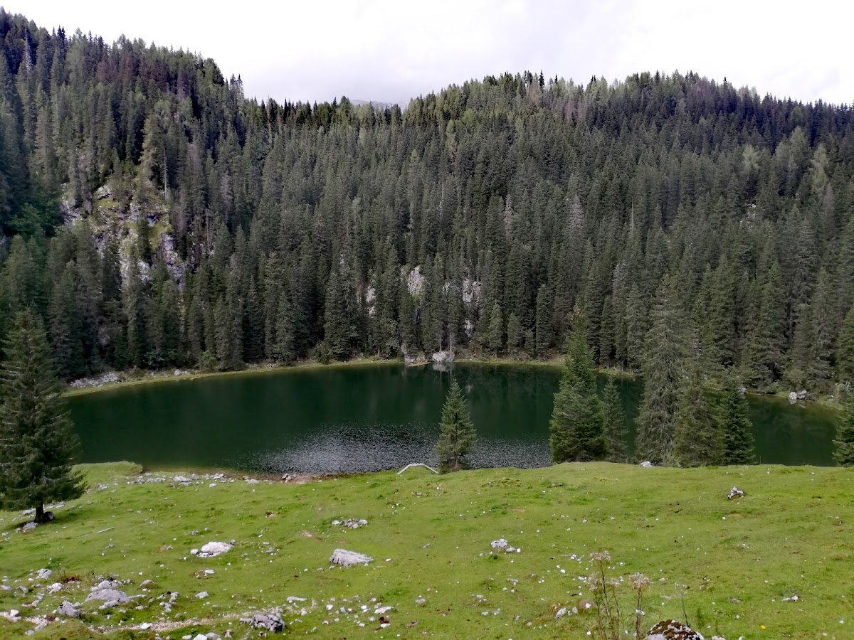

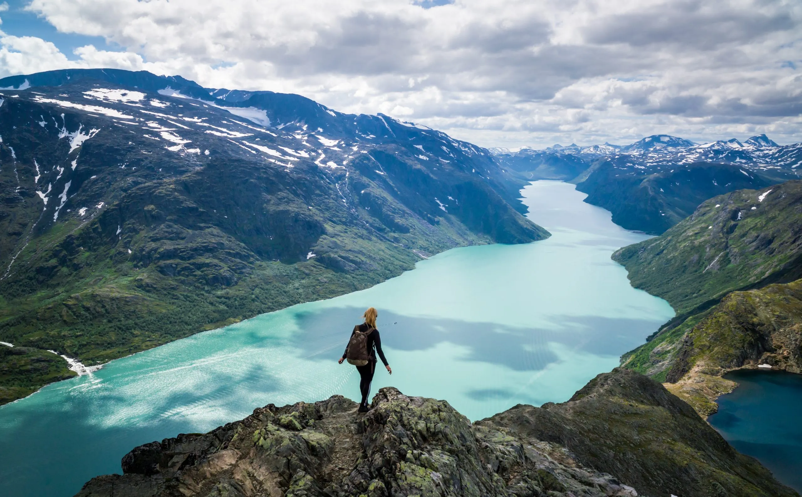
What makes hiking in Norway extraordinary isn’t just the jaw-dropping beauty of its landscapes—it’s the profound stillness, the elemental rawness, and the sheer space it gives you to wander, think, and breathe. One moment you’re trekking through pine-scented forests along a quiet fjord, the next you’re clambering over scree above deep glacier-fed valleys, or gazing across windswept plateaus that stretch for miles without a single sign of human presence.
This country doesn’t hand you just one kind of trail—it offers an entire world of wilderness. Families can stroll lake-lined paths under the midnight sun, weekend hikers can chase ridgelines high above the fjords, and seasoned trekkers can disappear into days-long journeys through alpine passes or wild tundra.
And when the day ends? There’s always somewhere to land. Maybe it’s a red-roofed Norwegian Trekking Association (DNT) cabin tucked into the hillside, a tent beside a rushing river, or a cozy guesthouse in a valley where sheep graze and waterfalls pour straight from the cliffs. You’ll find warmth, simplicity, and the kind of quiet that lingers long after the stars come out—if they come out at all during summer’s endless twilight.

This guide is your complete resource for planning a hiking adventure in Norway. You’ll learn about the country’s varied hiking regions—from rugged coastlines to glacial highlands—how to pick the right trails, what to pack, where to stay, and how to move through this landscape with confidence and care.
So tighten your boots, unfold your Norway trekking map, and get ready to step into a land shaped by ice, wind, and water. This isn’t just a destination. It’s an invitation to walk deeper—into nature, into yourself, and into a way of being that’s harder to describe than it is to feel.
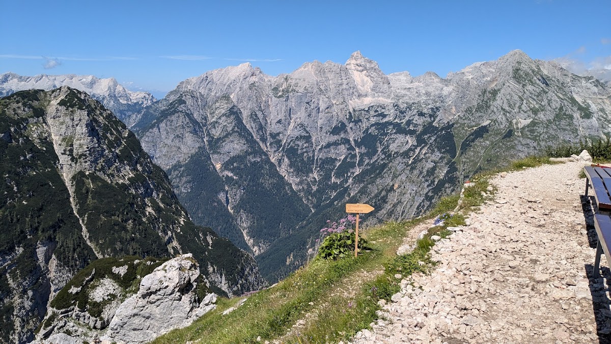
Where Are the Norwegian Mountains?
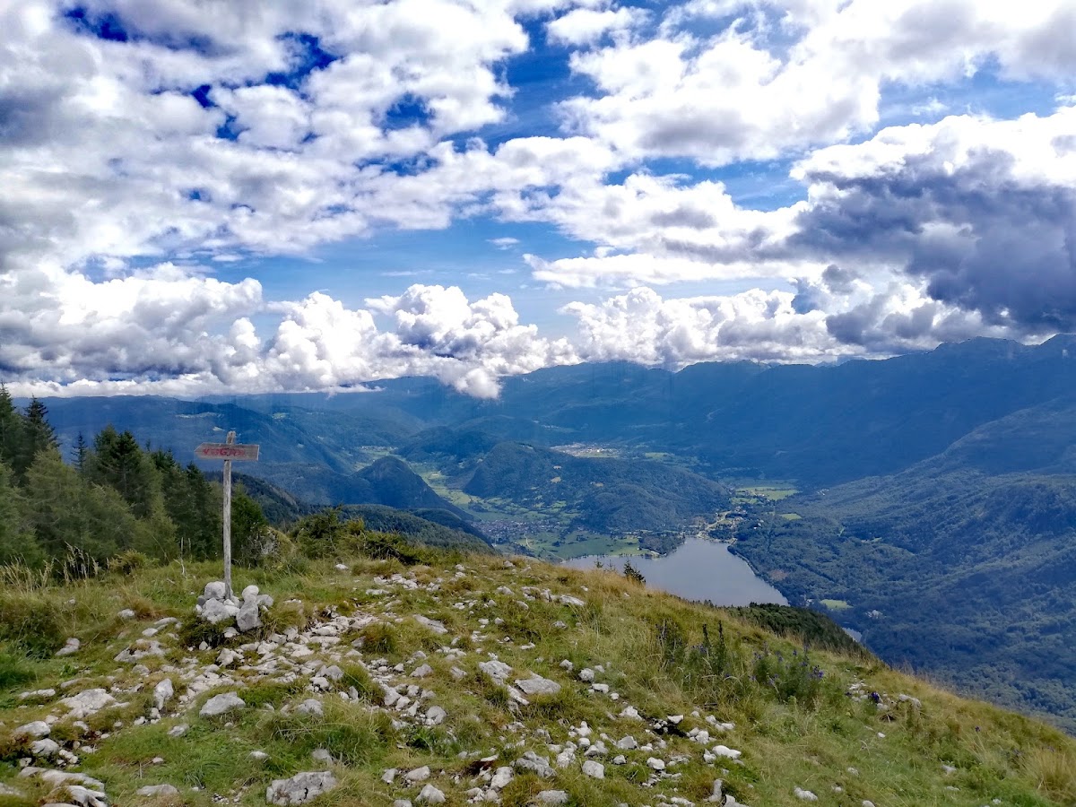
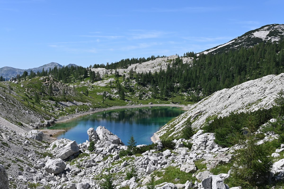
Norway stretches like a spine along the northwestern edge of Europe, a country carved by ice and shaped by water. It’s long—over 1,600 kilometers from south to north—and within that reach lies one of the most varied and compelling hiking landscapes in the world. From the salt-sprayed trails of the Lofoten Islands to the soaring peaks of Jotunheimen, from the vast tundra of Finnmark to the deep green fjords of the west—Norway is a land made to be walked.

But Norway’s hiking terrain doesn’t fit into neat boxes. It shifts constantly—between coast and mountain, forest and glacier, plateau and valley—and each region tells its own story.
If you’re planning anything longer than a day hike—especially multi-day routes in mountain terrain—you’ll want a good map and a clear sense of where you are. Not just for safety, but to understand how the land shifts under your feet.
Norway’s hiking regions vary wildly in weather, accessibility, and difficulty. In some areas, you’ll find well-marked trails and a chain of huts to guide your progress. In others, you might walk for days without seeing a soul, with only cairns and your compass for direction.
The Best Hikes in Norway
No two hikes in Norway feel the same. That’s part of the magic—this country doesn’t offer just one kind of trail, but a rich spectrum of landscapes and experiences. Some paths are short and scenic, perfect for a summer stroll with the kids. Others wind through wild valleys, rise along knife-edge ridges, or carry you deep into the Arctic wilderness for days at a time.
Here are some of the most iconic and rewarding hikes across the country, grouped by style and level of commitment.
Knutshøe Hiking Trail

- Starting Point: Vargebakken parking (near Valdresflye)
- Recommended Time: 3 to 4 hours round trip
- Distance: 13 km
- Elevation Gain: ~600 m
- Max Elevation: 1,517 m
- Best Time to Hike: July to September
- Nearby Town: Beitostølen
Knutshøe is often called the “little sibling” of Besseggen—but that nickname does it no justice. This ridgeline hike in the eastern part of Jotunheimen may be shorter and quieter, but it offers panoramas every bit as breathtaking and far more solitude. Where Besseggen draws crowds, Knutshøe offers space. Where Besseggen shows off its lakes from above, Knutshøe gives you the feeling of walking between sky and water.
The trail begins gently enough, curving along Lake Vinstre before rising sharply onto a ridge of broken stone. The ascent includes a short, scrambly section that requires hands—but nothing too technical. Once you’re past that point, the path flows easily along a narrow spine with sheer drops on either side and endless views in every direction.
To the north, the peaks of central Jotunheimen rise in jagged rows. Below, the turquoise waters of Leirungsdalen shimmer in the light. You feel like you’re walking on a blade—not dangerous, but thrilling, and with the sense that every step is a privilege.
The full loop takes you over the ridge and down into a broad valley dotted with wildflowers, before returning to the start along a quiet track. You can also hike it as an out-and-back if time is short or the weather uncertain.
Knutshøe is less known than Besseggen—but for many, that’s exactly the appeal. No ferry timetable. No bottlenecks. Just open mountain, clean air, and the quiet satisfaction of seeing one of Norway’s finest day hikes unfold beneath your boots.
Jotunheimen Hut-to-Hut Trek

- Starting Point: Gjendesheim, Leirvassbu, or Spiterstulen
- Recommended Number of Days: 4 to 7 days
- Distance: 70 to 120 km
- Elevation Gain: Varies depending on route—often 4,000–7,000 m
- Max Elevation: ~2,469 m (Galdhøpiggen summit detour)
- Best Time to Hike: Late June to mid-September
- Nearby Towns: Lom, Vågå, Beitostølen
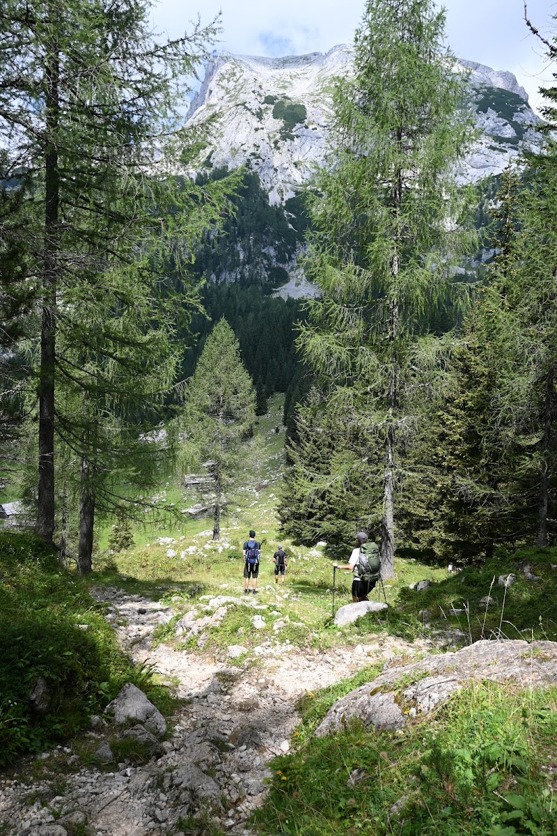
Jotunheimen—“Home of the Giants”—lives up to its name with every step. This is Norway’s alpine heart: a world of jagged ridges, snow-fed lakes, and towering peaks, many of them the highest in Scandinavia. The region is crisscrossed by an exceptional network of trails and DNT cabins, making it the most accessible high-mountain experience in the country without sacrificing the wildness that defines it.
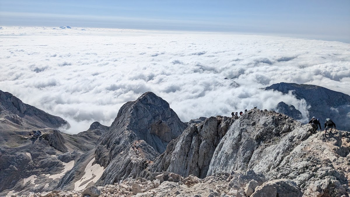
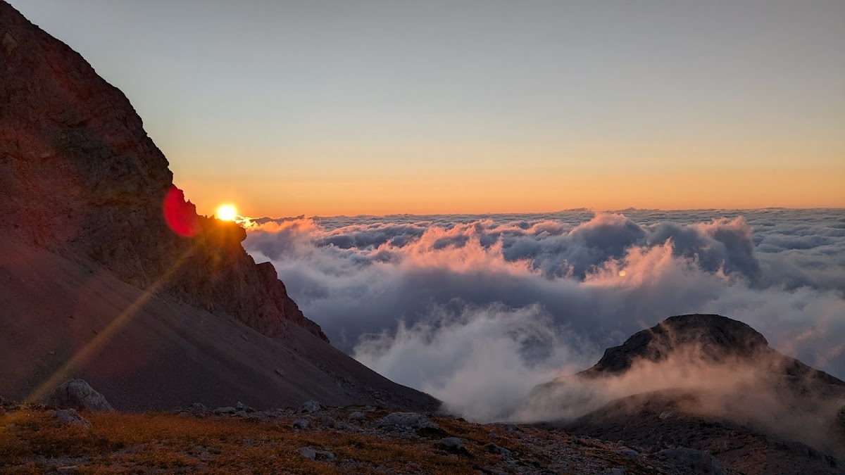
The classic Norwegian hut-to-hut trek through Jotunheimen can be shaped into loops or linear crossings depending on your time and starting point, but the experience is always elemental. You move through a landscape carved by glaciers—bare granite ridgelines above, wide valleys below, and sharp light cutting across it all. On clear days, the view from a pass might stretch across 50 kilometers of untouched peaks; on others, you may walk in silence through low-hung mist, the trail vanishing and reappearing with the fog.
The trail from Gjendesheim over the famous Besseggen ridge offers a dramatic start: a knife-edge climb between the teal-colored Lake Gjende and the deep blue Bessvatnet. From there, you descend to Memurubu and can either follow the shoreline to Gjendebu or swing northward toward Glitterheim or Leirvassbu, where the terrain opens into stark alpine bowls. The hut at Spiterstulen provides access to Galdhøpiggen (2,469 m), Norway’s tallest peak—reachable with or without glacier travel depending on your route. Some versions of this trek wind past the Glittertind glacier, while others traverse the Smørstabbrean icefield or loop back toward Eidsbugarden via lakeside paths beneath towering cliffs.
What defines Jotunheimen isn’t just its altitude, but its rhythm. Days unfold slowly: long climbs over rocky saddles, cold streams to ford barefoot, patches of lingering snow even in midsummer. Then, at day’s end, you arrive at a DNT lodge where the air smells of woodsmoke and dinner simmers in the kitchen. These huts—like Leirvassbu, Glitterheim, or Gjendebu—aren’t luxurious, but they are warm, welcoming, and unforgettable.
You fall asleep to wind in the rafters, wake to reindeer tracks outside the window, and walk on. By the time you leave the Jotunheimen trek, you don’t just remember the names of its peaks—you carry their silence with you.
Rondane National Park Hiking

- Starting Point: Mysusæter, Hjerkinn, or Straumbu
- Recommended Number of Days: 4 to 6 days
- Distance: 60 to 100 km depending on route
- Elevation Gain: ~3,000 to 4,500 m
- Max Elevation: 2,178 m (Rondslottet)
- Best Time to Hike: Mid-July to early October
- Nearby Towns: Otta, Dombås, Folldal
Rondane doesn’t shout—it whispers. As Norway’s first national park, it’s a place of gentle austerity: weathered peaks that rise like ancient sentinels, broad valleys shaped by long-forgotten ice, and a sense of openness that stretches far beyond the trail beneath your boots. Compared to the jagged drama of Jotunheimen, Rondane feels quieter, older, more introspective. But don’t let its calm exterior fool you—these mountains hold their own kind of grandeur.
Most hikers begin their journey near Rondvassbu, a beloved DNT lodge tucked at the south end of Rondvatnet lake. From here, multiple routes fan outward in a network of highland traverses and airy ridges. You might head north to Dørålseter through the stony grandeur of Langglupdalen, or curve east to Bjørnhollia, where birch forests and open moors soften the descent. Each path offers a different reading of the landscape—and none of them are crowded.
The peaks here aren’t Norway’s tallest, but they feel immense in their own way. Rondslottet (2,178 m) is the crown, with a sweeping summit that offers views into Jotunheimen, Dovrefjell, and far across the central uplands. Ascending it from Rondvassbu or Dørålseter is a rewarding side route, with a steady, scrambly push toward the top. Storronden and Vinjeronden, slightly lower but equally striking, form a horseshoe of peaks that encircle the park’s heart.
What sets Rondane apart is its spaciousness. You’ll cross wide-open valleys where herds of wild reindeer sometimes drift through the haze, hike along cairn-marked ridges that feel suspended between sky and stone, and rest by tarns so still they reflect the weather before it arrives. In late summer, the colors shift—mosses glow red and gold, and the air smells like heather and rock.
The huts are spaced thoughtfully: Bjørnhollia beside a rushing river, Grimsdalshytta at the edge of a quiet valley, and Dørålseter standing alone beneath towering cliffs. They’re rustic but reliable—offering dry gear, hot meals, and the soft murmurs of other hikers paging through their maps after dinner.
The Rondane hike doesn’t overwhelm. It invites you to slow down, to walk long and think deeply, and to find beauty not in the extremes, but in the spaces between. It’s a hike that humbles you gently—and lingers long after the trail has ended.
Aurlandsdalen Hut-to-Hut Hike

- Starting Point: Finse, Geiterygghytta, or Østerbø
- Recommended Number of Days: 2 to 3 days
- Distance: ~40 km
- Elevation Gain: ~1,200 m (mostly descent if walked westbound)
- Max Elevation: ~1,400 m
- Best Time to Hike: Late June to late September
- Nearby Towns: Aurland, Flåm, Hol
The Aurlandsdalen Valley is where wilderness and history intertwine—a deep, dramatic corridor that funnels from high mountain plateaus down to the inner fjords of Western Norway. For centuries, it was a vital link between east and west, a route walked by traders, farmers, and travelers long before there were roads. Today, it’s one of Norway’s most cherished trekking routes: a short but unforgettable hut-to-hut hike that feels like moving through time as much as terrain.
The journey begins high—either at Finse (reachable by train), or more commonly at Geiterygghytta, a DNT lodge perched beside a lake on the edge of the Hardangervidda plateau. From here, the trail leads gently past alpine moors and tarns, where snow patches linger well into July and the air carries the chill of height. As you descend, the valley tightens, and the landscape begins to change: the wide openness gives way to narrow defiles, steep-walled gorges, and forests of birch and pine.
By the time you reach Østerbø—a traditional mountain inn still run with the same hospitality it offered to packhorses and pilgrims long ago—the scenery has grown wilder and more enclosed. The next day is the heart of the hike: a sustained descent through the lower Aurlandsdalen, where waterfalls pour from cliffs, abandoned stone farms cling impossibly to the hillsides, and the river below grows louder with every turn.
There’s Vetlahelvete, a narrow gorge where the trail squeezes between mossy rock walls, and the ghostly remains of Nesbø farm, a place so remote and isolated it was once called “the last stop before God.” You’ll pass rusted iron tools, centuries-old stone fences, and patches of forest so dense and green they feel primeval.
Eventually, the valley opens again—and you arrive in the hamlet of Vassbygdi, where the sound of rushing water gives way to the slow lap of fjord waves. A short bus ride or scenic detour takes you to Aurland or Flåm, where steep mountains plunge into Aurlandsfjord and ferries drift silently across the water.
What makes the Aurlandsdalen hut-to-hut hike special isn’t just the scenery—it’s the feeling of descent, of transition. You begin among snow and silence and end beside fruit trees and sea air. The hike itself isn’t difficult—though the lower section includes rocky steps and narrow passages—but it’s dense with atmosphere. Every bend feels like a revelation, every night a return to something older, deeper, and utterly Norwegian.
Trollheimen Triangle Route

- Starting Point: Gjevilvasshytta
- Recommended Number of Days: 3 days
- Distance: ~45 km
- Elevation Gain: ~2,300 m
- Max Elevation: ~1,661 m (Trollhetta summit detour)
- Best Time to Hike: July to mid-September
- Nearby Towns: Oppdal, Rindal, Surnadal
Trollheimen is where Norway softens—just a little. Nestled between Trøndelag and the highlands of central Norway, it’s a region of lush valleys, broad passes, and craggy summits that rise suddenly from fields of heather and spruce. The terrain is rugged but inviting, the weather often gentler than in Jotunheimen, and the trails threaded through a landscape that feels both timeless and alive.
The Triangle Route—Trekanten—is the most beloved way to experience it. A three-day hut-to-hut circuit linking Gjevilvasshytta, Jøldalshytta, and Trollheimshytta, it loops through the best of Trollheimen’s varied scenery: shimmering lakes, high ridgelines, and sweeping mountain amphitheaters that feel secret and grand at once. It’s accessible without being tame—one of those rare hikes where the effort and reward seem perfectly balanced.
Most hikers begin at Gjevilvasshytta, a historic DNT lodge sitting just above the crystalline waters of Lake Gjevilvatnet. From there, the trail climbs steadily toward the pass at Kringlehøa before dropping into the broad, green Jøldalen valley, where Jøldalshytta waits with its red walls and creaking porch steps. The next leg rises again—this time toward the base of Trollhetta, the route’s iconic massif. A detour to the summit (1,616 m) is well worth the effort, offering views across Trollheimen’s intricate web of ridges and basins.
The final day leads eastward toward Trollheimshytta, passing waterfalls, meadows, and the long spine of the Snota massif—a stark granite peak reflected in mirror-still lakes below. From there, the loop closes, either returning to Gjevilvasshytta directly or via a longer descent through Vindøldalen, where the trail winds between stone pines and moss-covered boulders that seem placed by myth.
What defines the Trollheimen Triangle Route is its balance. It offers challenge, but also rest. Exposure and shelter. Peaks you’ll remember for years, and quiet valleys where the only sound is your boots in the gravel and the wind moving through distant birch trees. And the huts themselves—warm, wood-paneled, stocked with coffee and camaraderie—create a rhythm that’s hard to leave behind.
Trollheimen may not have the tallest peaks or the boldest cliffs, but it holds a particular kind of magic: the feeling that you’ve wandered into a place where the land is still wild, but welcoming. A place that doesn’t need drama to feel extraordinary.
Lysefjorden Circuit

- Starting Point: Lysebotn or Preikestolen Mountain Lodge
- Recommended Number of Days: 4 to 6 days
- Distance: ~70 km
- Elevation Gain: ~4,500 m
- Max Elevation: ~1,100 m (Kjerag Plateau)
- Best Time to Hike: Late June to mid-September
- Nearby Towns: Stavanger, Forsand, Lysebotn
Most people come to Lysefjorden to hike one of Norway’s “big three” viewpoints—Preikestolen, Kjeragbolten, or Flørli’s 4,444 steps—and then leave. But linking these highlights into a circuit turns a crowded series of day hikes into an unforgettable, quiet adventure through one of Norway’s most vertical landscapes.
Begin at Lysebotn, where boats drift silently in from the sea and sheer cliffs rise on all sides. From there, ascend to Kjerag, where the trail pulls you over bare rock slabs and grassy ledges, eventually arriving at the famous boulder lodged between two cliff faces 1,000 meters above the fjord. Continue along the plateau, wild camping or staying in staffed huts, descending to Flørli and climbing the world’s longest wooden staircase up from the fjord. Onward through pine forests and ridge trails to the Preikestolen plateau, where—if you’ve timed it right—you’ll arrive early or late, just as the crowds thin and the light stretches golden over the water below.
This route demands a bit more planning—logistics between trailheads, ferry schedules, water access—but it rewards you with solitude, immersion, and the chance to see one of Norway’s most photographed places from a different angle. From above, from within, and from the rhythm of your own steady footsteps.
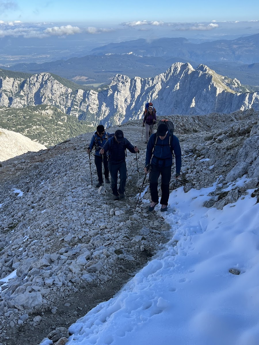
Planning Your Norwegian Hiking Trip
A great hiking trip in Norway starts long before you lace up your boots. With weather that can shift in minutes, trails that vary from groomed and family-friendly to remote and wild, and distances that demand respect, good planning is the difference between a beautiful challenge and an unnecessary struggle. But if you take the time to understand the seasons, gear up properly, and think through your route, Norway opens up in a way few places do. It’s not a land built for convenience—it’s built for presence.
This section will guide you through the most important pieces: when to go, how to get there, what to expect from the trails, and how to prepare for the kind of hiking that stays with you.
When to Go

Norway’s hiking season is shaped entirely by altitude and latitude. In general, the best time to hike is late June through mid-September, but the specifics vary depending on where you go.
Early Summer (Late June to Early July)
This is when the high country starts to open. Snowfields linger on passes above 1,200 meters, but most DNT huts begin operation. Rivers run high, waterfalls roar, and trails are quiet in the early weeks.
- Pros: Wildflowers, fewer people, dramatic light
- Cons: Snow on high routes, muddy lower trails, early bugs
Peak Season (Mid-July to Late August)
This is the sweet spot. Everything is open, the trails are mostly dry, and huts are fully staffed. The daylight lasts late into the evening—especially north of the Arctic Circle, where you can hike under the midnight sun.
- Pros: Full access, long days, cultural events in villages
- Cons: More hikers on famous routes, hut reservations needed in advance
Autumn (September to Mid-October)
A secret season. The air turns crisp, the crowds fade, and the mountains glow gold and red. Higher huts begin to close by early October, but many valleys remain accessible well into autumn.
- Pros: Stunning colors, cool temperatures, peaceful trails
- Cons: Shorter daylight, unpredictable weather, limited hut staffing
Winter and Shoulder Months (October to May)
This is skiing season—not hiking season. Most trails are snowbound, many huts are closed or unstaffed, and mountain weather becomes serious business. Some valley walks and marked snow routes are still possible, but you’ll need proper skills and gear.
- Best for: Snowshoeing, Nordic touring, cabin stays
- Avoid for: Traditional trekking unless experienced in winter travel
How to Get There

Despite its wild image, Norway is surprisingly accessible. But distances are long, and logistics matter.
By Air
- Oslo: Best for accessing Jotunheimen, Rondane, Hardangervidda
- Bergen: Ideal for west coast and fjord hiking (Aurlandsdalen, Lysefjorden)
- Trondheim: Gateway to Trollheimen and central ranges
- Tromsø / Bodø: Best for Lofoten, Senja, and Arctic hiking
By Train and Bus
The rail network (Vy) and regional buses can get you to most trailheads, especially for well-known routes like Besseggen, Rondane, or Finse. For more remote access—like Innerdalen or Øvre Dividal—you may need to combine public transit with a taxi or arrange pickup from huts.
By Car
Renting a car offers flexibility—especially for hut-to-hut treks that don’t start and end in the same place. Roads are excellent, though mountain drives can be slow and winding. Many trailheads have small car parks; some are paid or require a local permit.
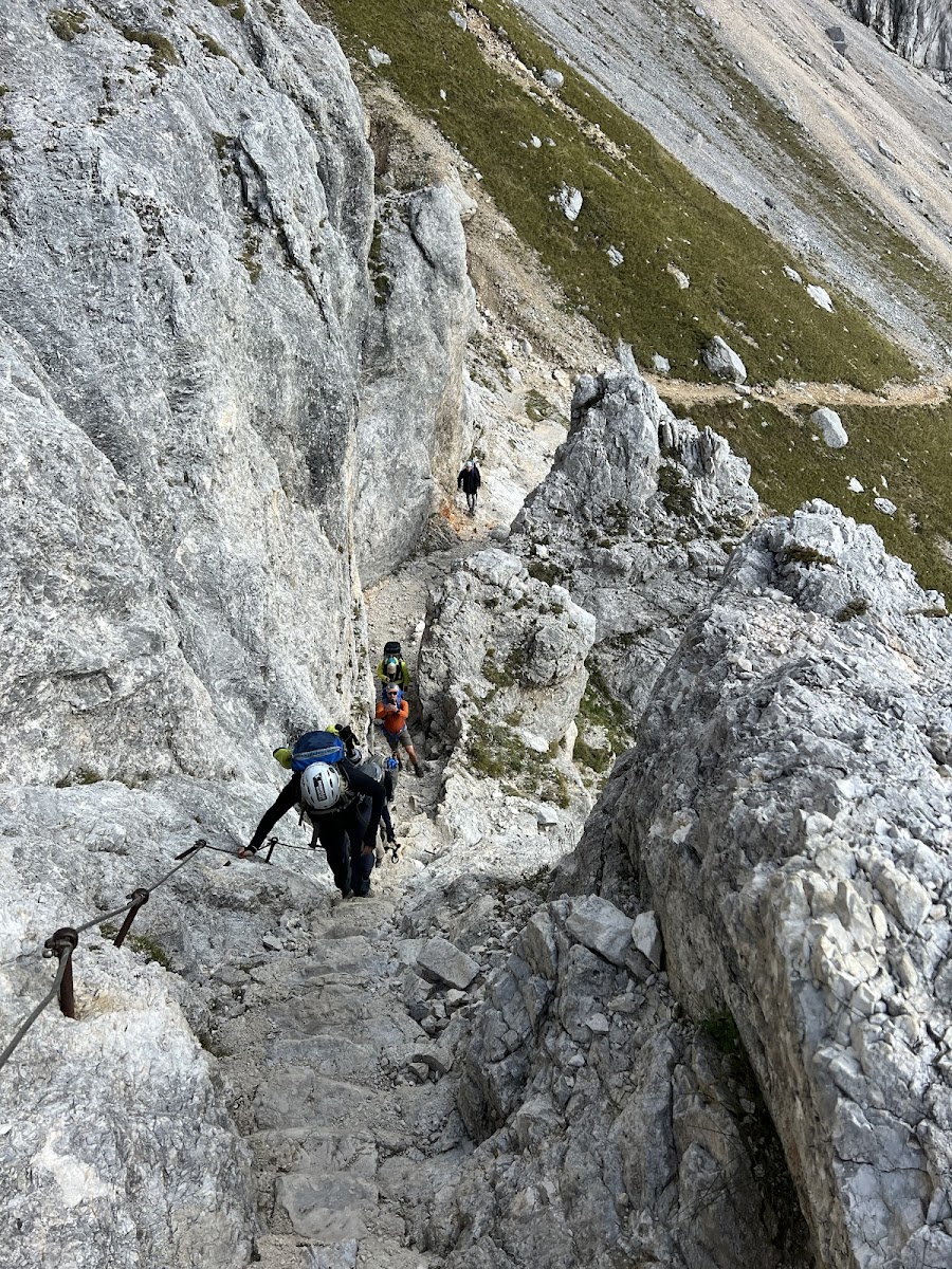
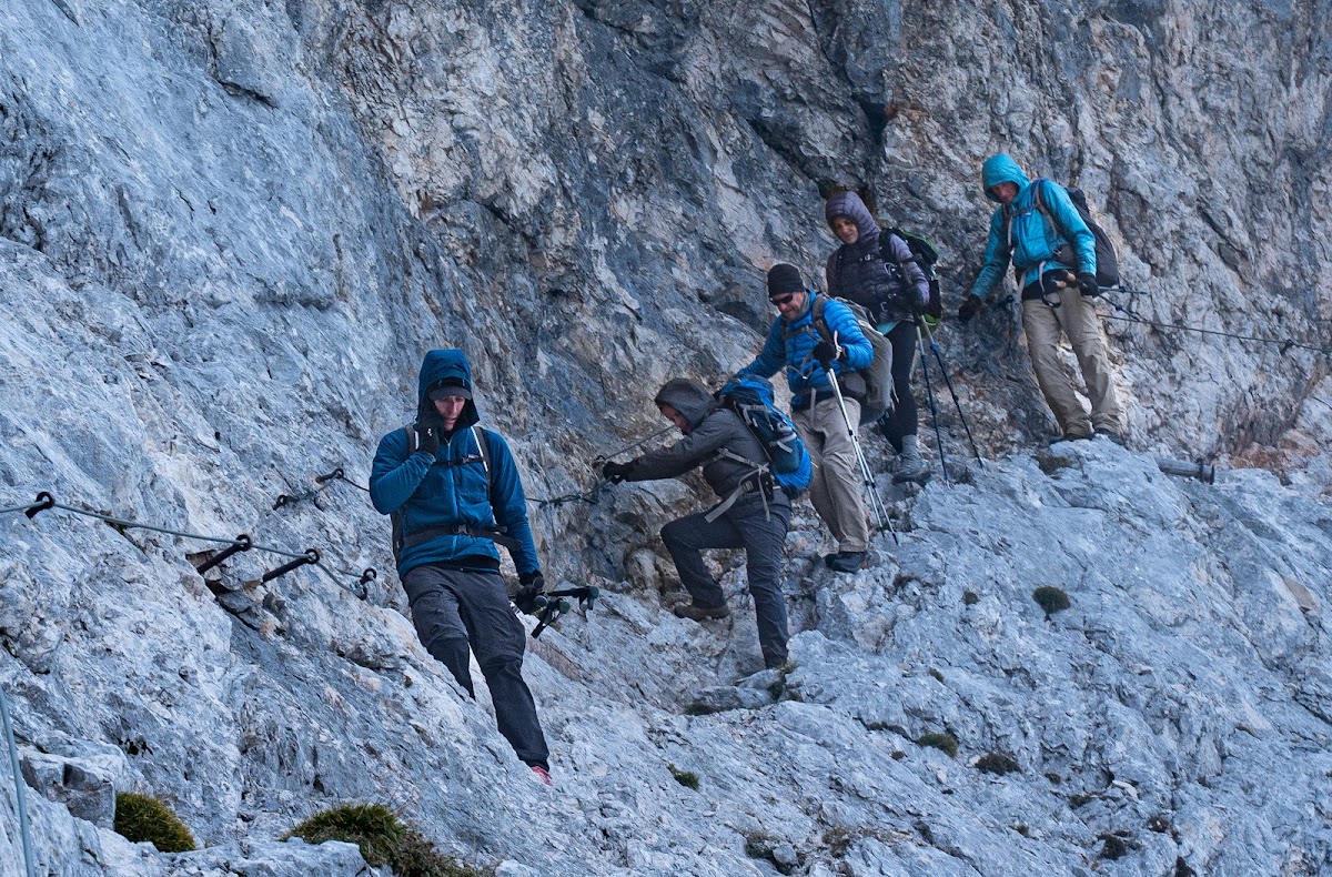
Understanding the Trails
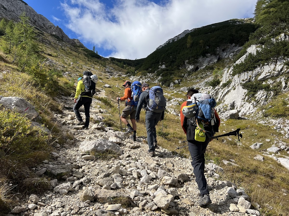
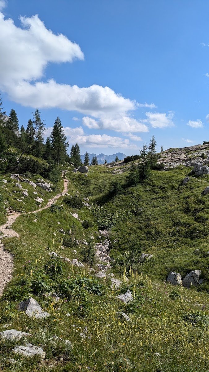
Norwegian hiking trails range from gravel roads to steep, boulder-strewn routes with no markings beyond cairns. Most are unpaved and can be wet, rocky, or snow-covered depending on the season.
- Trail Markings: The Norwegian Trekking Association (DNT) uses red T’s painted on rocks or trees to mark summer trails. In winter, routes are marked with birch branches or poles.
- Navigation: Most trails are well-signed, but always bring a paper map and compass or an offline GPS app like Norgeskart or UT.no. Fog and sudden storms can erase the landscape in minutes.
- Distances: Daily distances are typically 10–20 km, but don’t let the numbers fool you—altitude gain, terrain, and pack weight make every kilometer count.
Essential Gear and Preparation
Hiking in Norway isn’t about flashy gear or ultralight setups—it’s about reliability, layering, and respect for the conditions. The landscape is unforgiving if you’re unprepared, but incredibly rewarding if you are. A trail that starts under a sunny sky can end in sleet or fog, and even in July, you might cross snowfields or get soaked by a sudden fjord wind.
That doesn’t mean you need to carry everything. With Norway’s hut system and plentiful water, you can travel light—but you do need to travel smart.
Clothing: Layers Are Everything
The weather in Norway shifts like a mood. One moment you’re sweating under a high sun, the next you’re pulling on all your layers in a cold drizzle. The key is to layer up and adjust often.
Must-haves:
- Base layer: Moisture-wicking wool or synthetic shirt and leggings (merino wool is ideal)
- Mid layer: Insulating fleece or down/synthetic jacket
- Shell layer: Waterproof and windproof jacket and pants (Gore-Tex or equivalent)
- Extra warmth: A lightweight insulated jacket or vest for evenings at huts or during breaks
- Gloves and hat: Always—even in midsummer
Avoid cotton. Once it’s wet, it stays that way.
Footwear: Trust Your Boots
Trails in Norway are often rocky, wet, and uneven—and even short hikes can feel technical. Your shoes matter more than almost any other gear choice.
- Sturdy, waterproof hiking boots or shoes with ankle support are recommended for most multi-day routes.
- Trail runners work on drier, lower-elevation routes, but expect wet feet.
- Camp shoes (light sandals or Crocs) are great for huts and river crossings.
Break in your boots beforehand. Blisters in a remote valley are more than a nuisance.

Backpack and Essentials
Your pack should match the trip. For hut-to-hut hiking, 30–45 liters is usually enough. If camping, you’ll need 55–70 liters depending on how much gear you carry.
In your pack:
- Navigation tools: Map, compass, GPS device or app with offline maps (UT.no, Gaia, Norgeskart)
- Water bottle or bladder: Streams are common and often safe above farmland—but a filter is wise
- Snacks: Nuts, chocolate, energy bars, dried fruit—food between huts isn’t always available
- Headlamp or flashlight: Even in summer, fog or tunnels can turn noon into night
- First aid kit: Include blister care, painkillers, bandages, and any personal meds
- Sun protection: Sunglasses, SPF lip balm, and sunscreen—even on cloudy days
- Knife or multitool, duct tape, and repair patches
If camping: stove, fuel, pot, sleeping pad, sleeping bag (3-season), and tent suitable for wind and rain
Extras That Go a Long Way
- Trekking poles: Help on steep descents and boggy ground
- Earplugs: For hut dormitories
- Sleeping bag liner: Required in all DNT huts (blankets are provided)
- Small towel and toiletries: For hut showers (some have hot water, some don’t)
- Cash or Vipps app: Some huts don’t accept cards
Training and Fitness
Norwegian trails aren’t about speed—they’re about stamina, sure-footedness, and stability. You’ll be climbing, descending, rock-hopping, and occasionally wading streams.
To prepare:
- Hike regularly before your trip, focusing on elevation gain
- Add weight gradually to your pack during training walks
- Do balance and strength work—think lunges, squats, and core exercises
- Practice with poles if you plan to use them
Even moderate hikes in Norway can feel long. But you don’t need to be an athlete—you just need to be ready.
Permits and Trail Access
For most hiking routes in Norway, no permits are required. Whether you’re doing a hut-to-hut trek through Jotunheimen, a fjord circuit near Lysefjorden, or a long-distance wilderness route in Finnmark, the trails are open and free to access.
The few exceptions include:
- Guided glacier crossings (e.g. Galdhøpiggen from Juvasshytta via Styggebreen) require joining an authorized tour for safety reasons.
- National Parks with vehicle access (like some roads in Hardangervidda) may have tolls or restrictions for parking.
- Private cabins or locked DNT huts require booking in advance and a DNT key or membership.
- Camping in protected areas (rare) may have zone-specific rules—but these are clearly marked on signage and maps.
In general, the lack of bureaucracy is refreshing—but it puts more responsibility on you to plan well and act respectfully.
Accommodation in Norway
In Norway, how you sleep is just as much a part of the hiking experience as where you walk. After a long day on the trail—shoulders tired, boots muddy, sun low over the ridgeline—where you land matters. It can lift your mood, give you warmth, or simply offer a moment to take in where you are, with no noise but the wind and the creak of your backpack being unbuckled.
The beauty of hiking in Norway is that you don’t have to choose between wild and comfortable. The country has built a system that supports freedom—hut-to-hut, tent-to-town, high to low—without getting in the way of what makes the outdoors feel truly wild.
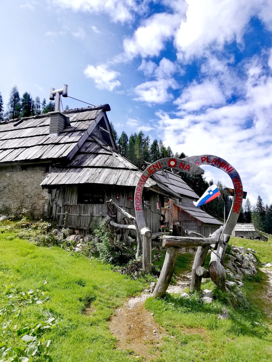
Mountain Huts (DNT Cabins)

If you’re hiking anywhere near Norway’s national parks or long-distance routes, chances are you’ll stay in a DNT cabin—part of the Norwegian Trekking Association’s legendary network of more than 550 huts across the country. These aren’t fancy, but they are reliable, deeply rooted in culture, and designed to let you stay in the mountains without hauling a tent and stove on your back.
Huts come in three types:
- Staffed lodges (betjente): Open in summer (and some in winter), serving full meals and offering hot showers and bunk beds
- Self-service cabins (selvbetjente): Unstaffed but stocked with firewood, gas, basic food supplies, and beds
- No-service huts (ubetjente): Minimalist shelters, unlocked (or accessible with DNT key), bring your own food
All huts require a sleeping bag liner. Blankets and pillows are provided.
Many huts have communal dorms, shared meals, and handwritten logbooks where each guest leaves their name and route for the next to read.
Booking is recommended in summer for popular huts like Gjendebu or Trollheimshytta, but many cabins also work on a “first in, first served” basis.
You don’t just sleep in a hut—you settle into a rhythm. You chop kindling, boil water from the stream, dry your socks by the stove. You share tables with strangers who become trail companions, swap maps over dinner, and step out at night to find the stars stretching sharp and silent overhead.
Hotels and Guesthouses Near the Trail

Not every hiker wants to end their day with bunk beds and a communal washroom. For those who prefer a little more comfort—without giving up proximity to nature—Norway has no shortage of small mountain hotels, inns, and guesthouses in the valleys and villages near its most iconic trails.
Places like Åndalsnes, Beitostølen, Lom, and Aurland offer cozy hotels with private rooms, homemade meals, and access to local guides or shuttle services. Some specialize in working with hikers: they’ll store luggage, help with route planning, and even arrange baggage transfers on multi-day hut routes.
These are perfect for mixing comfort with trail time. Spend a few days hiking from a base, then return to a hot shower, a warm bed, and a fjordside dinner. In towns like Flåm or Geiranger, you can combine short day hikes with cultural visits and boat trips—ideal for families or first-time hikers.
Camping and Wild Camping

If you want total freedom—and don’t mind carrying your home on your back—then camping in Norway is about as close to true wilderness living as you can get. Thanks to the Right to Roam, wild camping is not just legal—it’s celebrated.
The rules are simple:
- You can pitch a tent on uncultivated land (mountains, forests, coastlines) as long as you’re 150 meters away from the nearest house or cabin
- You may stay for up to two nights in the same place, longer in remote areas
- Campfires are allowed in many areas, but prohibited from April 15 to September 15 in forest zones due to fire risk
- Leave no trace: pack out all rubbish, bury waste properly, and never wash dishes directly in streams or lakes
Wild camping is especially rewarding in places like Hardangervidda, Rondane, Senja, and Finnmark, where solitude is part of the landscape. Pitch beside a lake, wake to silence, and watch the mist lift from the valley as you brew your morning coffee.
For those who prefer a bit more structure, there are also many designated campgrounds—some basic, some with showers, cooking shelters, and even saunas. They’re often family-run, inexpensive, and located near trailheads or public transit.
Unique Stays and Wellness Retreats
Norway has also embraced a quieter form of luxury. In recent years, the hiking world here has seen a rise in eco-lodges, glamping domes, boutique cabins, and spa retreats tucked into remote valleys and fjord edges. These places offer something different: a slower, softer pause in the middle or end of a rugged trek.
Think wood-fired hot tubs under the northern lights. Silence broken only by a stream. Simple comfort paired with architectural beauty. They’re popular with couples, solo travelers on rest days, or anyone looking to mark the midpoint of a trek with something special.
You’ll find them near Lysefjorden, Hemsedal, the Lofoten Islands, and increasingly, in the inland valleys of Troms and Trøndelag.
In the end, how and where you stay shapes your trail memory. You might fall asleep to the soft chatter of other hikers in a crowded dorm, or to nothing but the hush of wind against your tent. One night you’ll be sipping a mug of broth beside a woodstove, the next you’ll be stretching sore legs in a sauna. What matters most is that wherever you land—you’ve earned it.
Why Hiking in Norway Stays With You
There are places that dazzle you with drama, places that challenge your legs and test your resolve. And then there are places like Norway—where the landscapes don’t just impress, they absorb you. You walk through these mountains not as a tourist, but as something smaller, softer, more alert. It’s not just the beauty that gets under your skin—it’s the silence, the patience, the space.
Days stretch differently here. The rhythm of your steps becomes your clock. You learn to watch the sky more than your screen. You measure progress not in kilometers, but in how often you pause—not because you’re tired, but because the world around you keeps asking you to stop and look.

In Norway, the mountains don’t compete for your attention. They don’t need to. One minute you’re tracing a trail along a glassy lake, the next you’re climbing into cloud, or crossing a snowfield under an August sun. Sometimes it’s a moment as grand as the view from Romsdalseggen; sometimes it’s the sound of reindeer hooves on gravel, or a single red T painted on a stone in the mist, reminding you that you’re still on the right path.
And when the day ends—whether you’re slipping into a bunk at a DNT hut, lighting a stove beside your tent, or sinking into the hot water of a remote fjord sauna—there’s a peace that settles over you. The kind that doesn’t come from ticking boxes or conquering peaks, but from being still inside something much older than yourself.
You don’t hike in Norway to escape the world. You hike to remember how to be in it again—with your senses tuned, your pack light, your heart open.
And when you leave—because at some point, you will—you’ll carry the silence with you. The good kind. The kind you earn by walking far, looking closely, and letting the land move through you.